
 Welcome To Aeromarine Geosurvey
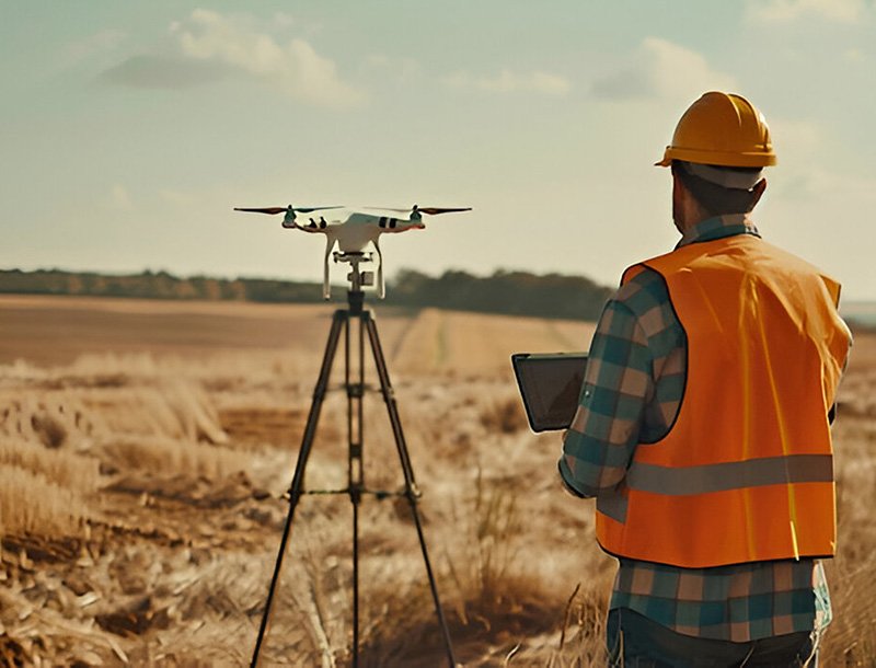
Aeromarine Geosurvey is a leader in marine and geospatial surveying, renowned for delivering high-precision, innovative solutions to clients across multiple industries. Specializing in hydrographic, subsea, and geophysical data collection, the company utilizes cutting-edge sonar systems, LiDAR, and drone technologies to provide comprehensive and accurate survey results. Whether working offshore, along coastlines, or in inland waterways, Aeromarine is committed to supporting infrastructure development, environmental assessments, and resource exploration with the highest quality of service.
With a team of experienced surveyors, geophysicists, and GIS experts, Aeromarine Geosurvey serves sectors such as offshore oil and gas, renewable energy, port and harbor management, and environmental studies. The company’s expertise in using advanced technologies enables it to capture and interpret data with precision, allowing clients to make well-informed decisions for both small and large-scale projects.
To be a global leader in marine and geospatial surveying, driving innovation and delivering unparalleled precision to support sustainable development and the responsible use of marine and coastal resources.
To provide high-quality, reliable marine and geospatial data through the use of advanced technologies like sonar, LiDAR, and UAV systems. To offer tailored surveying solutions that meet the specific needs of each client while maintaining a commitment to accuracy, efficiency, and environmental stewardship. To lead the industry in innovation by continuously integrating new technologies and methodologies, ensuring our clients benefit from the latest advancements in surveying and geospatial science. To support the sustainable development of marine, coastal, and inland environments by offering data-driven insights for safe, responsible project planning and execution.
Precision: We believe in delivering the most accurate and reliable data to our clients. Our commitment to precision ensures that every project is guided by data that can be trusted, enabling informed decision-making and minimizing risks. Innovation: At Aeromarine Geosurvey, we continuously push the boundaries of technology and methodology. By leveraging the latest advancements in sonar, LiDAR, and UAV technologies, we stay ahead of industry trends and offer our clients cutting-edge solutions for even the most complex surveying challenges. Sustainability: We are committed to responsible and environmentally conscious practices. From minimizing our operational impact on marine ecosystems to supporting the sustainable use of marine and coastal resources, sustainability is at the core of what we do.

 OUR work process
 OUR EXPERT TEAM


trusted By Over 1500 Of the Worlds Leading Companies


© Copyright 2024. All Rights Reserved by Aeromarine Geosurvey