Aero Drone Survey
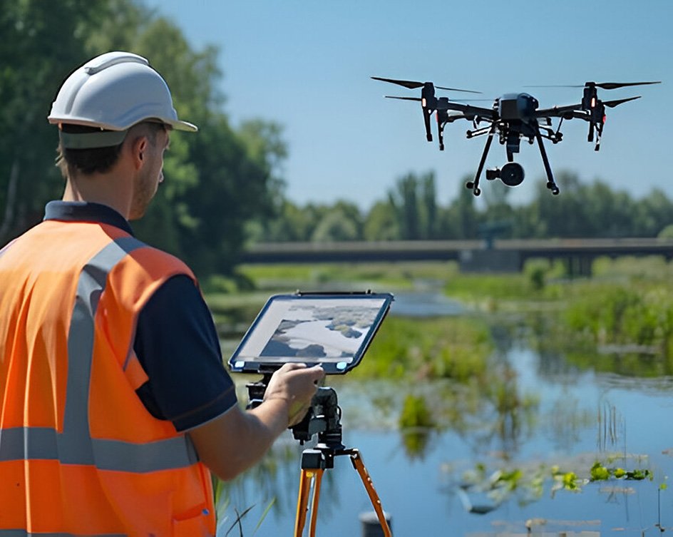
At Aeromarine Geosurvey, our drone survey services offer cutting-edge solutions for accurate and efficient data collection across marine and geospatial environments.
Conpleated Work
 ABOUT US
At Nusail Survey, we are proud to collaborate with Aeromarine Geosurvey, a leader in marine and geospatial surveying solutions. Aeromarine Geosurvey specializes in delivering precise and reliable hydrographic, subsea, and geophysical data collection services. With a focus on innovation, the company employs advanced sonar systems, LiDAR, and drone technology to offer comprehensive solutions for offshore, coastal, and inland waterway projects.
Their expertise supports a wide range of industries, including marine construction, energy, and environmental management, ensuring accurate data for critical decision-making.
 OUR SERVICES
 OUR work process
 OUR PORTFOLIO
 WHY CHOOSE US
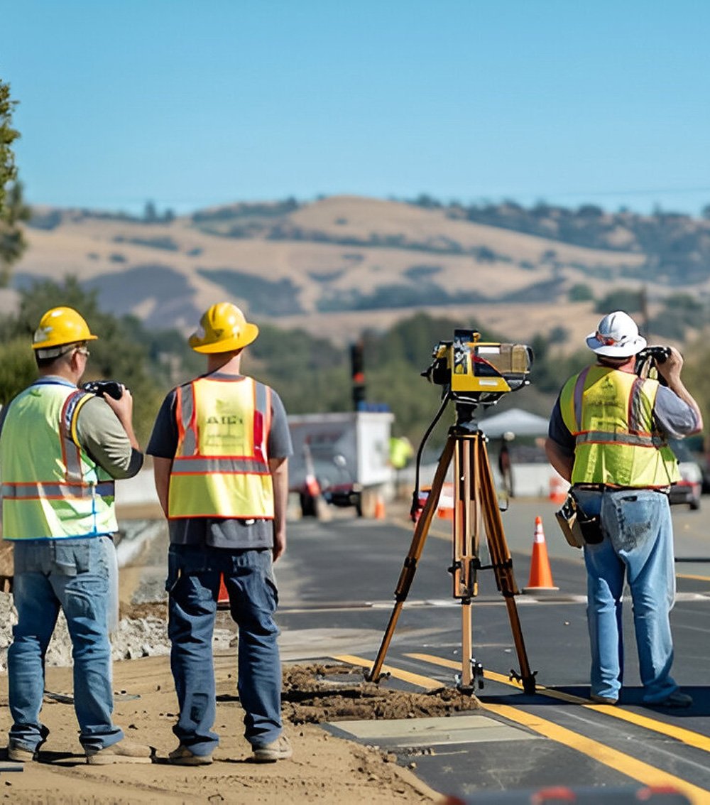
 OUR EXPERT TEAM



Looking to elevate your marine or geospatial projects with advanced surveying solutions? Partner with Aeromarine Geosurvey, the trusted leader in hydrographic and subsea surveys. With cutting-edge technologies like sonar systems, LiDAR, and drone mapping, our team is ready to provide the precise data and expert support you need.
Get in touch with us today and take your project to the next level with confidence!
trusted By Over 1500 Of the Worlds Leading Companies



© Copyright 2024. All Rights Reserved by Aeromarine Geosurvey